The Field Service mobile app was chosen as the main application for turtles in the field because it draws on the same database as that of the operators by default. Another reason for this choice is the fact that it has a host of functionality readily available for use without the need to build an app from scratch like we had to do for the public distress call app.
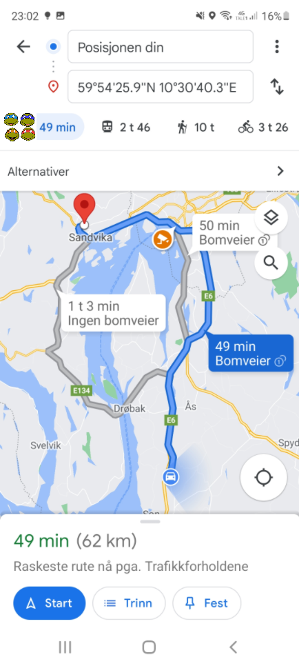
One of these features is the built-in map in the application that allows turtles to check locations, check directions and plan ahead while rushing from one emergency to the next.
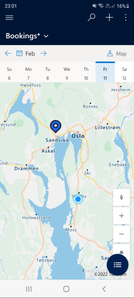
This particular turtle had to rush home to take care of the family in a very real Covid-related emergency, so as you can see he is currently operating out of Vestby. Dispatchers were not aware that he left crime central, AKA. Oslo, and booked him to respond to an armed robbery in Sandvika:
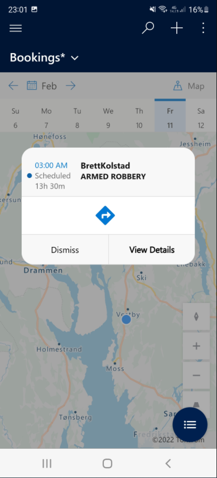
Realistically speaking, Donatello would have phoned in his absence so that dispatch could manage it, but for the sake of argument let’s say Donatello decided to respond to the robbery. Tapping the location pin in the mobile app brings up quick information about the event; the emergency reporter and the nature of the emergency:
From here, Donatello taps the direction arrow symbol, and is taken straight to Google Maps with the destination coordinates already filled in. Tapping “Start navigation” brings up the navigation interface we’re all so used to seeing: